| Geography |
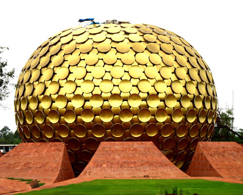
The geography of Puducherry is the same as that of coastal Tamil Nadu. Puducherry's average elevation is at sea level, and a number of sea inlets, referred to as "backwaters" can be found. One such inlet, Chunnambar is a popular tourist destination.. The Union Territory of Puducherry extends from Latitude 11056' in the North to Longitude 79053' in the East. Puducherry comprises four coastal regions namely Pondicherry, Karaikal, Mahe, and Yanam.
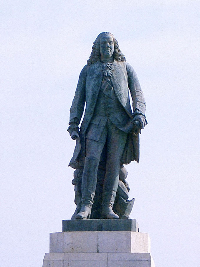
Pondicherry and Karaikal are situated on the East Coasts in Tamil Nadu, Yanam in Andhra Pradesh, and Mahe on the West Coast in Kerala. It is still not known that why, French and British limited their territories in the intermingling manner, making Pondicherry a peculiar case for territorial jurisdiction.
Pondicherry more or less is a flat land with no hills and forests. Interspersed with parts of Cuddalore and Villupuram districts of Tamil Nadu, the Union Territory of Pondicherry presents a picture of scattered parts. Main soil types are red ferrallitic, black clay, and coastal alluvial.
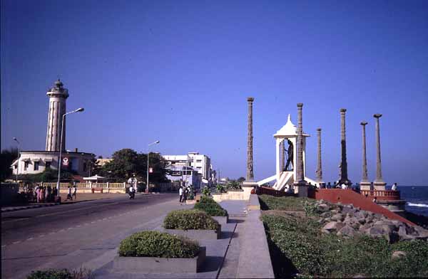
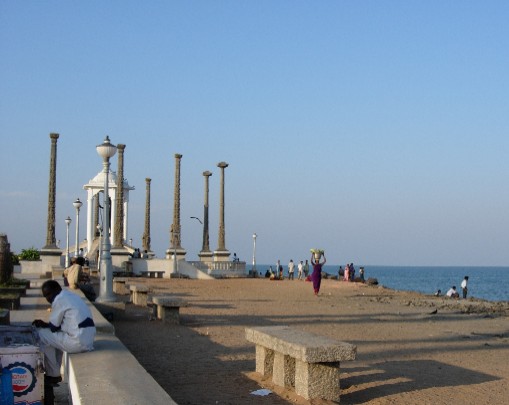
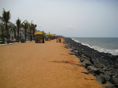
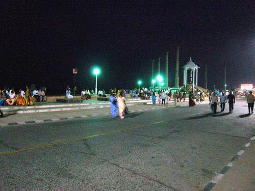
Puducherry experiences coastal erosion. The city is protected against the sea by a 1.25 mile (2-kilometre) long seawall, first completed by the French in 1735, which reaches a height of 27 feet above sea level.[1] A weather-beaten cement plaque with the year 1952 is still visible along a section of the seawall. The seawall is protected from the direct onslaught of waves by rows of granite boulders which are reinforced every year to stop erosion. Whenever gaps appear or the stones sink into the sand, the Government adds more boulders to keep it strong.
|
Town Structure
Puducherry city consists of 42 wards. Wards 1-10 are located in north of the city. Wards 11-19 are located in Boulevard Town and remaining wards are located in the South west of the downtown.
|
Climate
The climate of Puducherry is again, very similar to that of coastal Tamil Nadu.Summer lasts from April to early June, when maximum temperatures frequently hit the 41o C mark. The average maximum temperature is 36o C. Minimum temperatures are in the order of 28 - 32o C. This is followed by a period of high humidity and occasional thundershowers from June till September.
The Northeast Monsoon sets in during the middle of October, and Puducherry gets the bulk of its annual rainfall during the period from October to December. The annual average rainfall is 1240 mm. Winters are mild, with highs of 30oC and lows often dipping to around 18 - 20C.
|


